Travel Directions
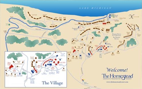
The Homestead
1 Wood Ridge Road
Glen Arbor, MI 49636
Click Here for Google Map Directions
Getting Here
Arriving by Air
The Homestead is located at Glen Arbor, about 30 miles west of Traverse City’s Cherry Capital Airport. American Eagle, Delta and United Express provide service to the airport from a number of major hubs. Schedules vary with the seasons. Rental cars and shuttle services are available. The resort does not offer its own shuttle service.
Arriving by Car
Travel times from the major cities vary. We suggest picking the best route from your point of origin to Traverse City. Once there, take the Grandview Parkway (M-31 and M-37) north to Traverse Highway (M-72) and turn left toward Empire.
From Traverse City
Continue on M-72 for about 15 miles. M-72 takes a sharp turn right and then, about a mile past the curve, has a blinking yellow light where M-72 takes a left. You may go left to Empire, or go straight on S Coleman (County Rd 669). We suggest going straight. Stay on S Coleman (CR-669) until it dead-ends (about 3.4 miles) at CR-616 (W Burdickville Rd). Take a left. Stay on CR-616 about 2.6 miles until it dead-ends at S Dunns Farm Rd (CR-675). Take a right on S Dunns Farm Rd and drive around Big Glen Lake. Take a right on Westman Rd, about 4.5 miles. In .6 of a mile it will dead-end at M-22. Take a left and then an immediate right into the resort.
From Empire
M-72 intersects M-22 in Empire. Turn right and follow M-22 north about 2 miles to M-109 and turn left. Continue on about 5 miles until M-109 intersects with M-209 – turn right to stay on M-109. In about 2 miles, M-109 will intersect M-22 again in Glen Arbor. Go straight on M-22 about 2 miles north and the resort will be on your left.